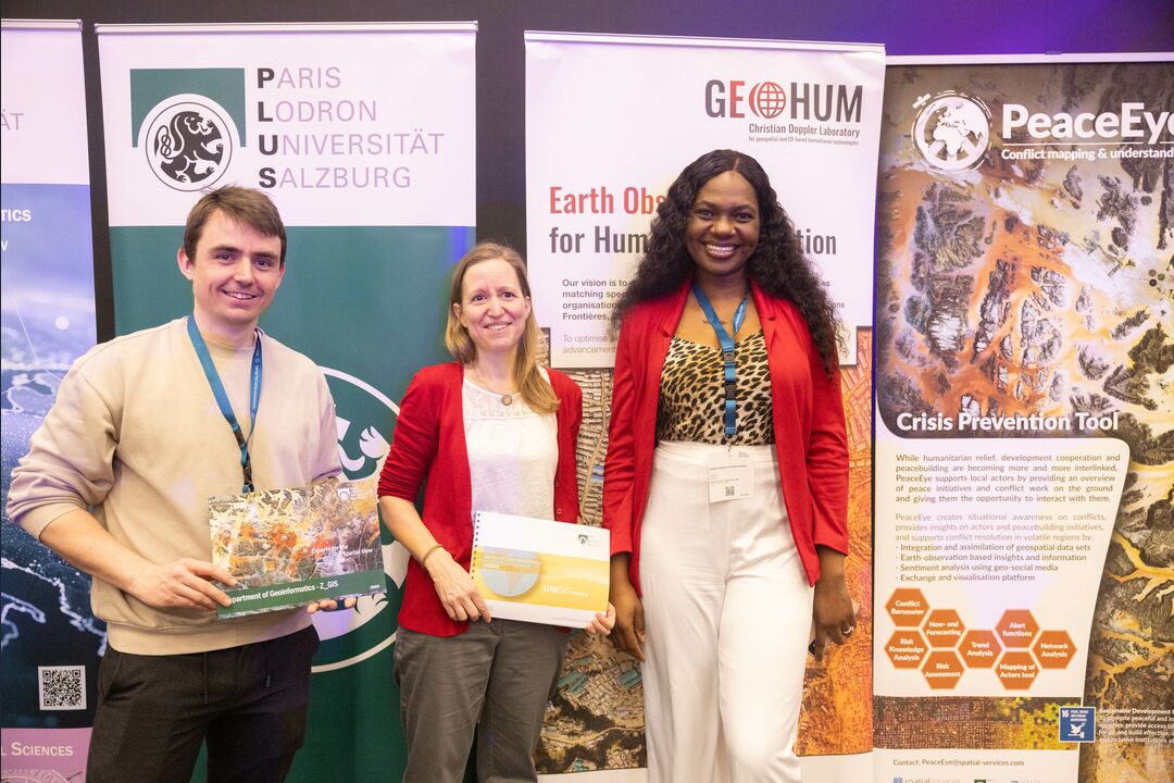
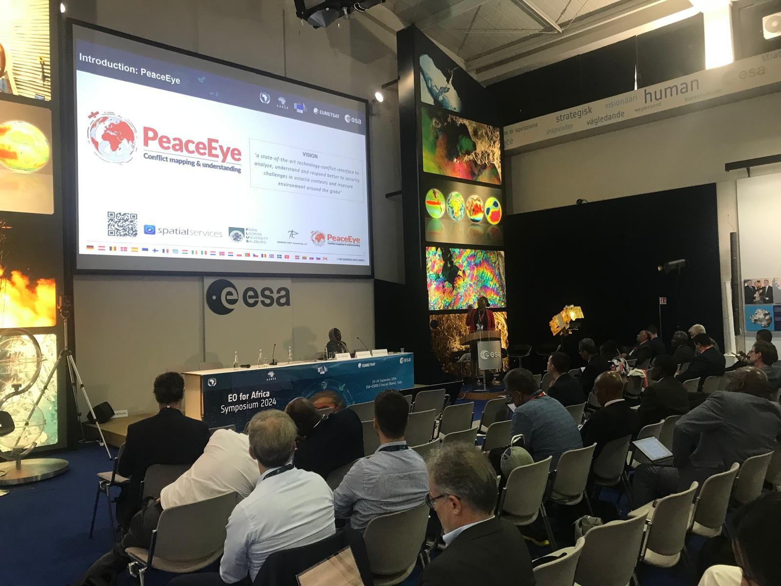
PeaceEye Workshop
PeaceEye: Integrating geodata, composite indices and qualitative data from local stakeholders and experts. We invited people to present the PeaceEye concept and over 50 people were there plus a selected online audience. It is impressive that people who have founded satellite companies like Rapideye or a university of applied sciences are on board.
Next to the planned activities in South Sudan, one of the next steps is a dashboard and green hydrogen suitability index for Northern Africa combining physical, infrastructure, and socioeconomic factors.
Social vulnerability index: To identify communities at risk from large-scale energy projects. Political stability heat maps: Showing areas of higher/lower risk for project development. While some of these datasets (like solar potential or infrastructure) are directly mappable, others (like political stability or social dynamics) may require creating proxy indicators or composite indices based on multiple data sources – this is a particular strengths of the many players of PeaceEye including GEOHUM and Spatial Services.